PERU
INCA TRAIL DAY I
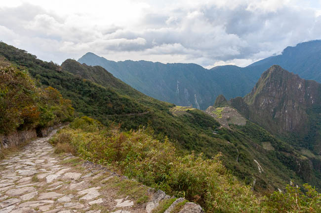
“KM82 to
HUAYLLABAMBA”
September 2011 • Canon 40D camera
UNESCO World Heritage site
Part of the Qhapaq Ñan, Andean Road System
Hike stats
Distance
Highest point
Duration
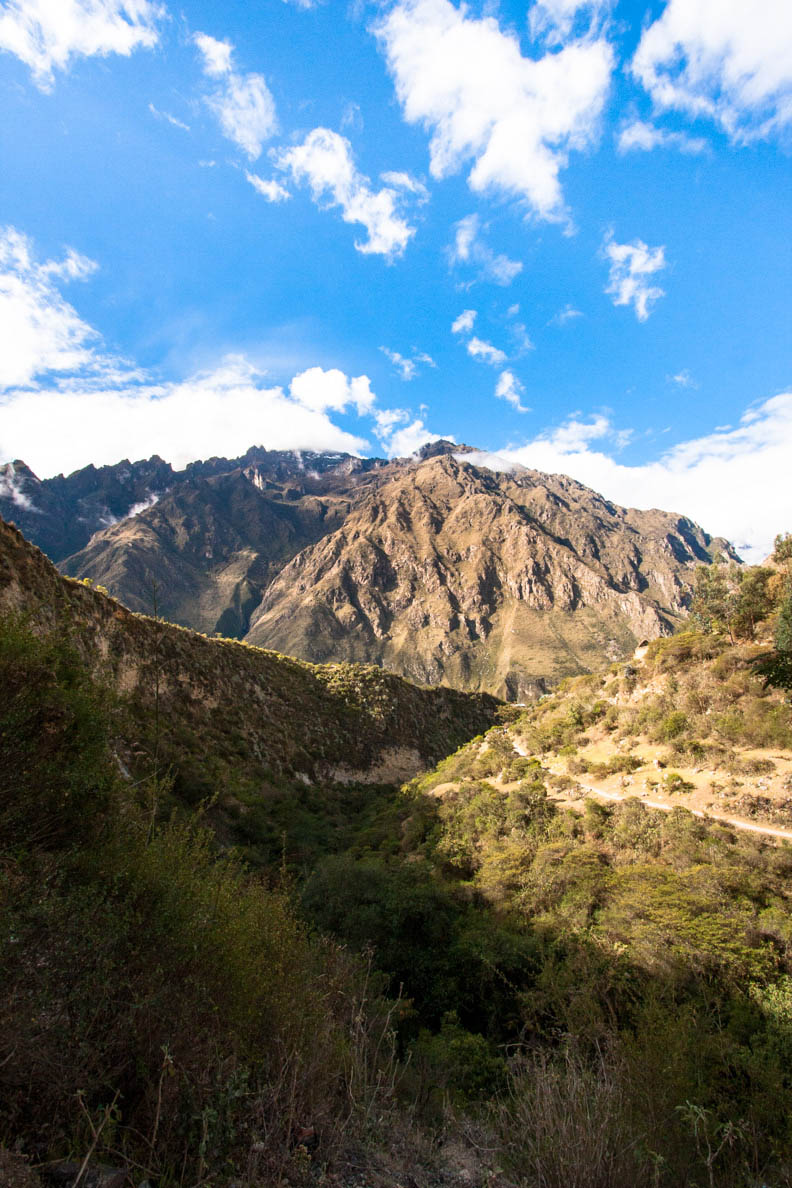
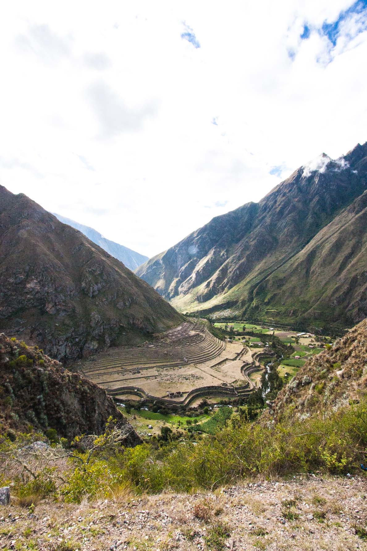
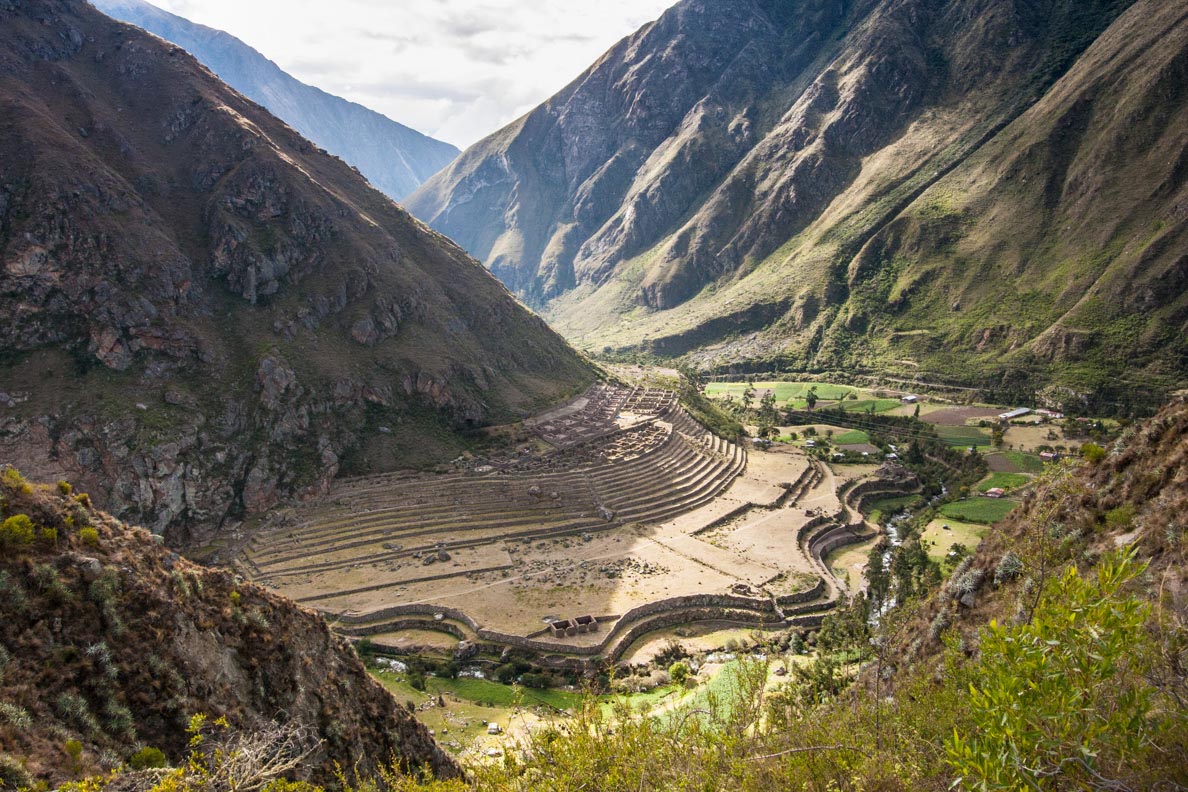
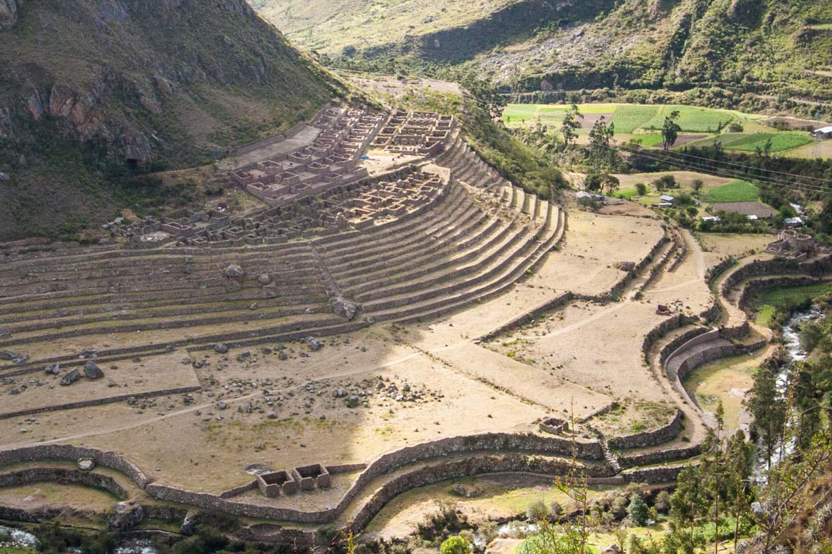
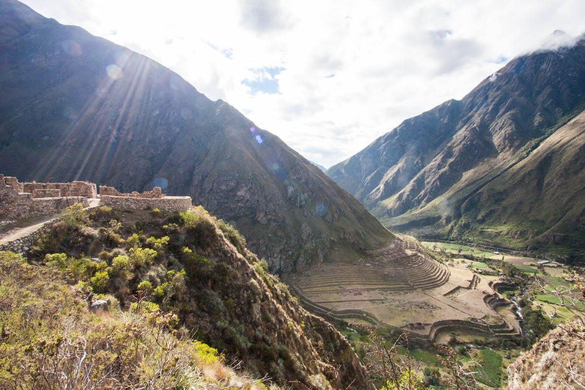
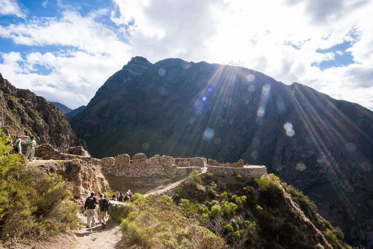
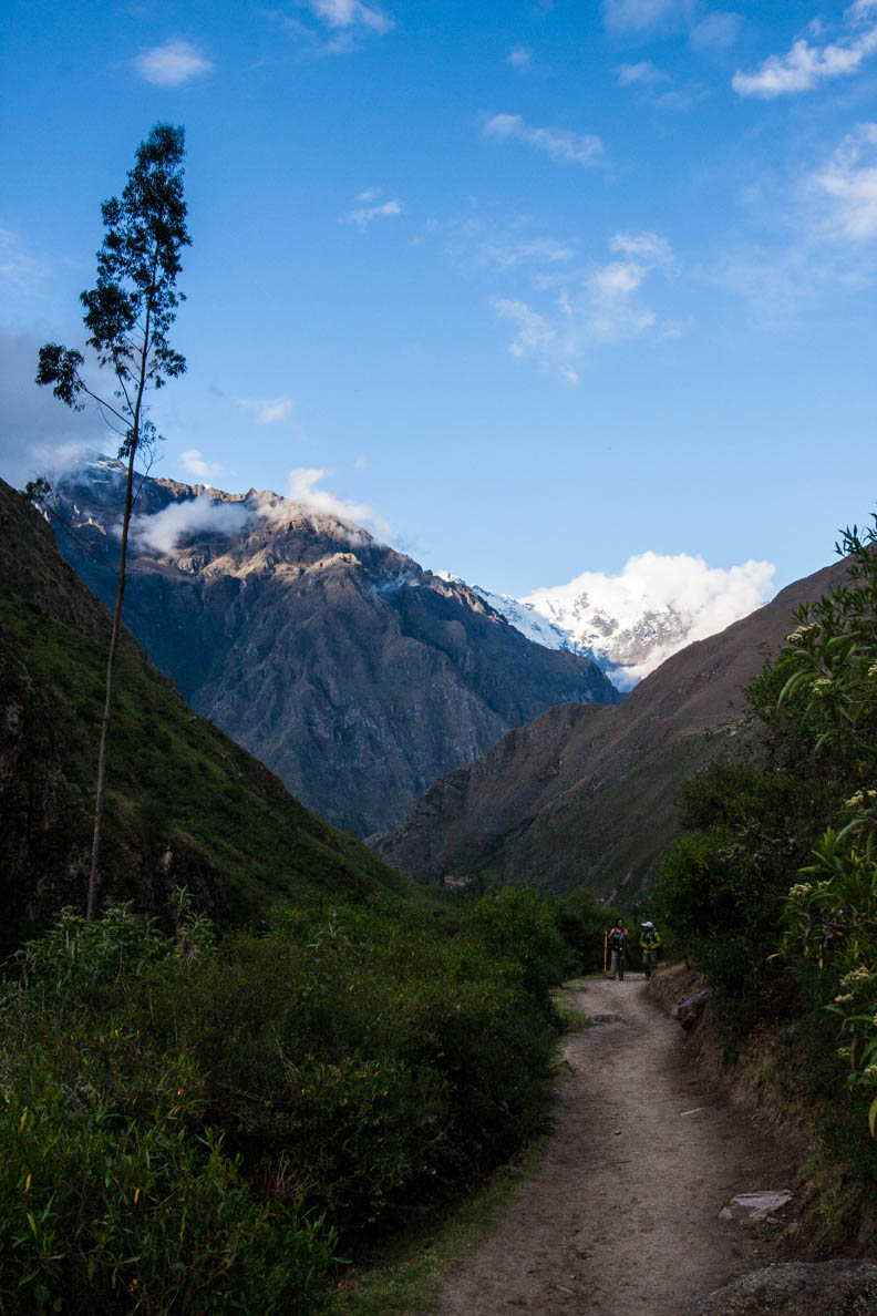
The classic Inca Trail (Camino Inka in Spanish) is a dream for many people to hike and a must on anyone’s bucket list. Today I get to full fill that dream I had since I was a kid—to hike the Inca trail and visit the Inca ruins of Machu Picchu. The classic trail would take four days to complete, camping at night at designated campsites. This spectacular trail would take us through a variety of ecosystems filled with plants and wildlife. You hike up high on mountains and through cloud forests. Along the trail there are also many archaeological Inca sites that you can visit before finally arriving at the finale destination of Machu Picchu.
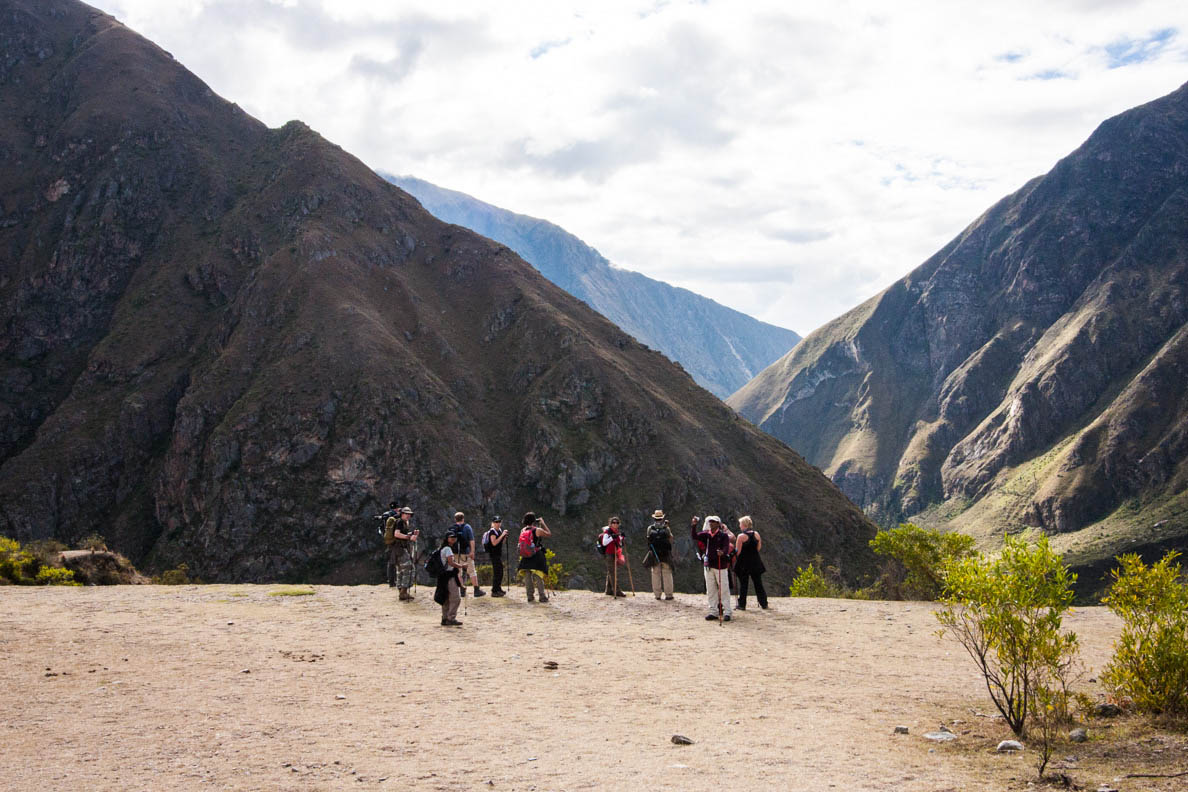
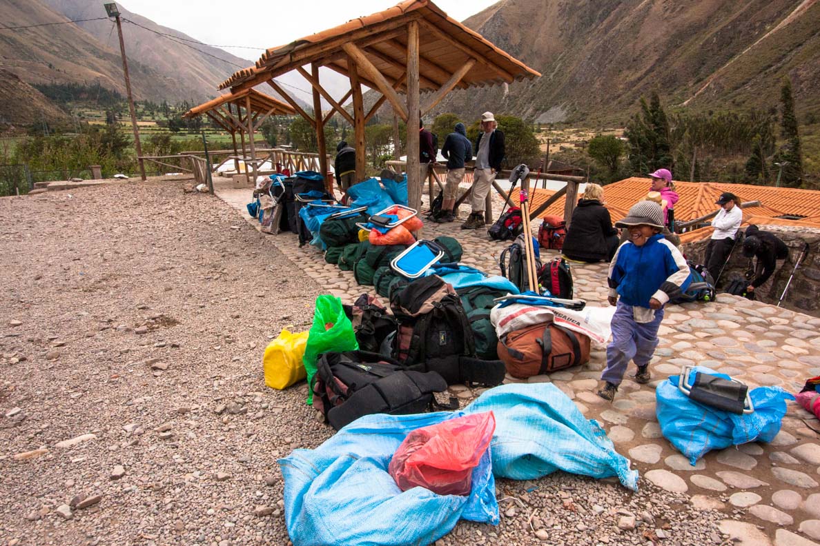
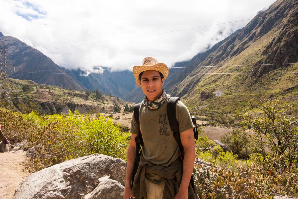
It was a chilly grey morning as we waited at the small town of Piscacucho. The town is also known as Km82 as it was 82 kilometers by train from Cusco. Silvia our guide on our full Peru tour would be guiding us also on the Inca trail. On the trail we would be joined by an assistant guide, Juan Carlos, our cook Onorato and an assistant cook, Evra. We met our porters who would be carrying our bags to the campsite. It was pretty amazing to see how much these guys could carry. On the trail the maximum they could carry was 20kg. This weight is strictly enforced as each porter is weighed before setting off. But–wow–to see the massive packs strapped to their backs ready to carry was really impressive. I noticed most of them did not have proper footwear. They wore trainers that were worn out and some had flip–flops.
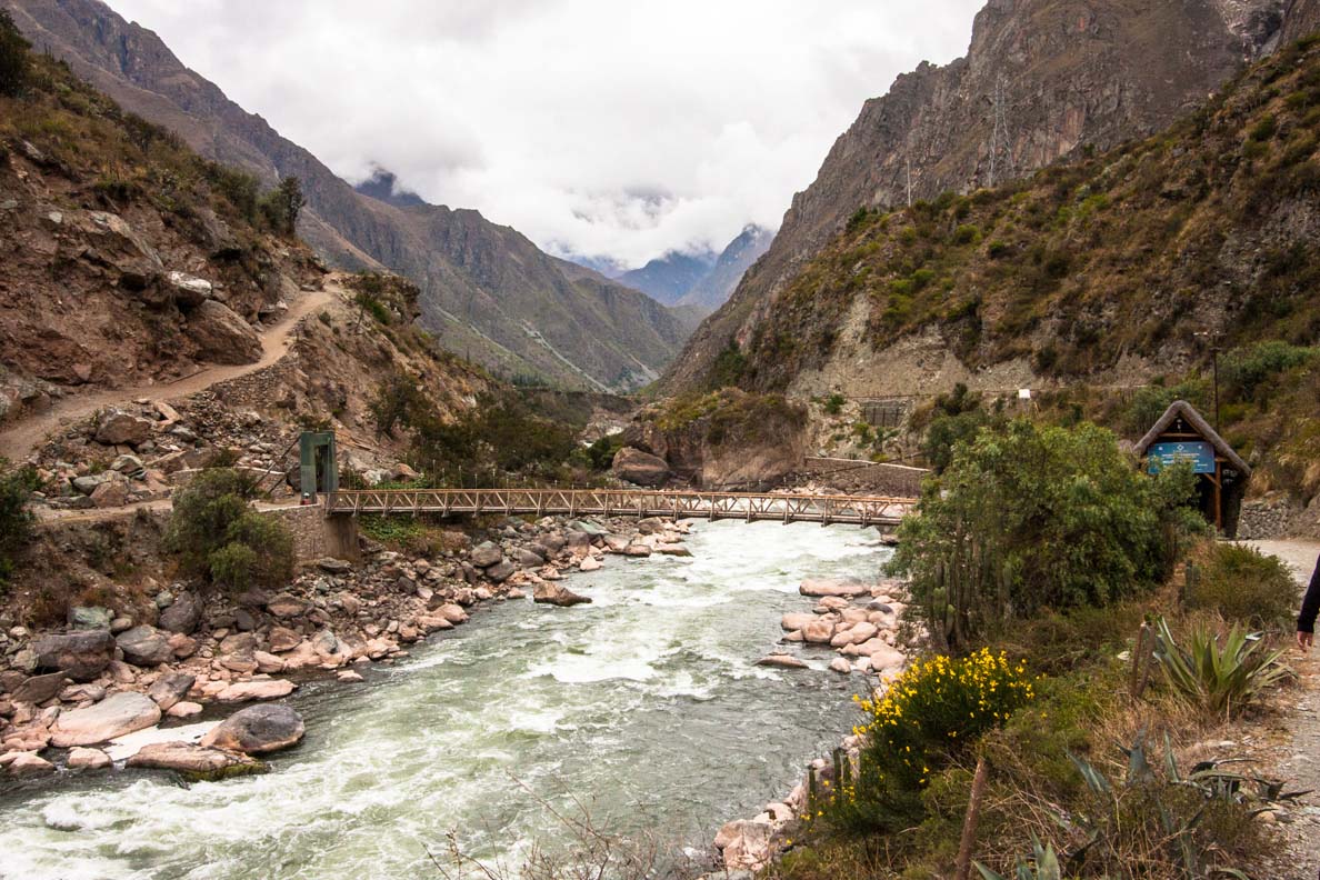
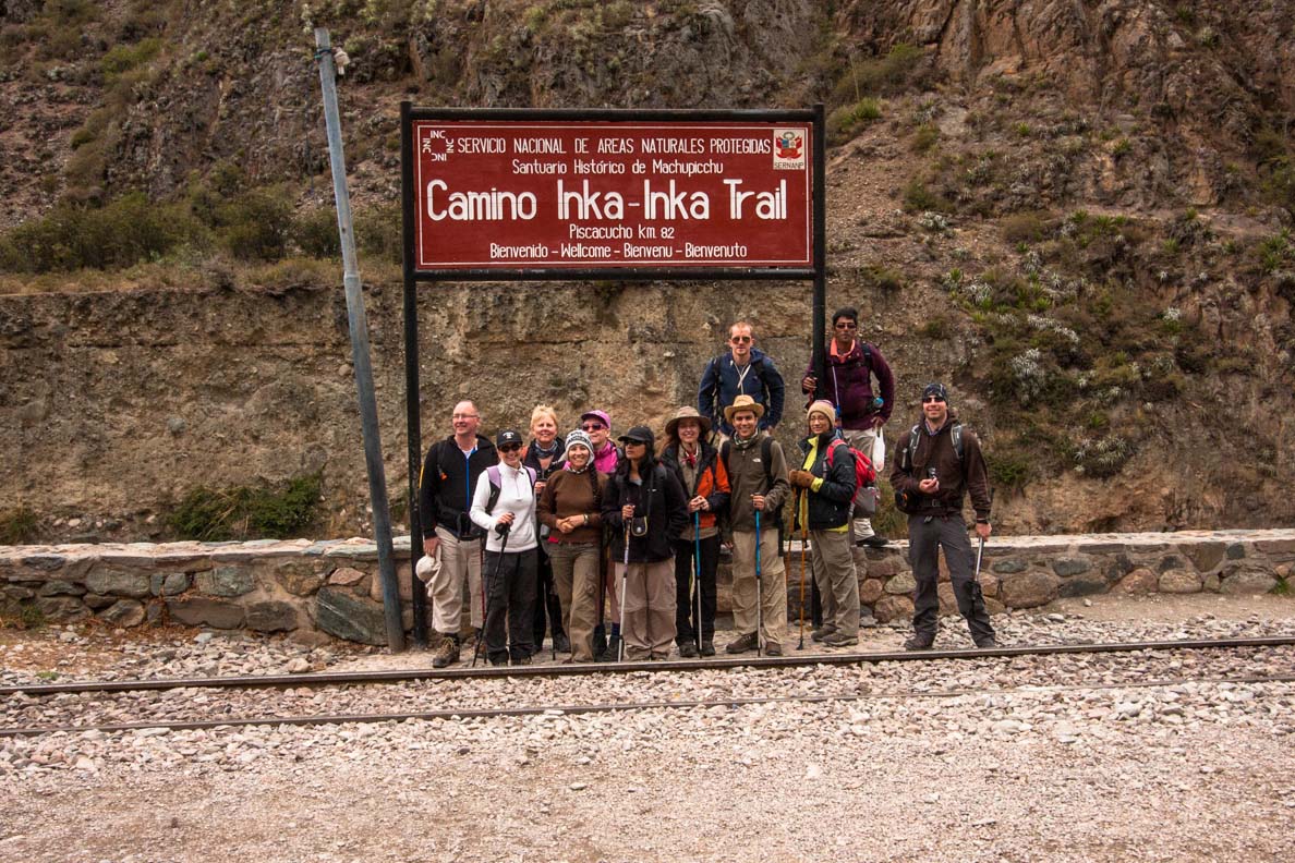
We stopped to take a group photo with the sign of the start of the Inca Trail and made our way towards a bridge to cross the Rio Vilcanota (often referred to as Urabamba River). Just before the bridge there is the checkpoint that everyone has to go through to start the trail. Here you get your passport stamped and all passes, permits and identification checked. After this formality, you cross the bridge to begin the Inca Trail. The roar of the river is quite loud as you cross over to the other side. I was feeling really excited to begin this journey.
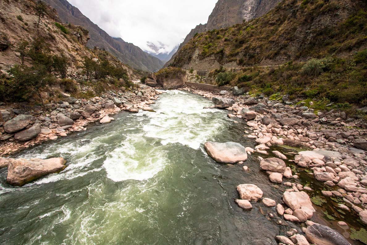
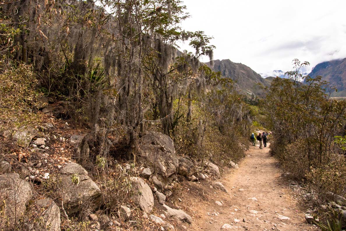
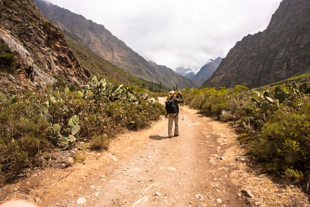
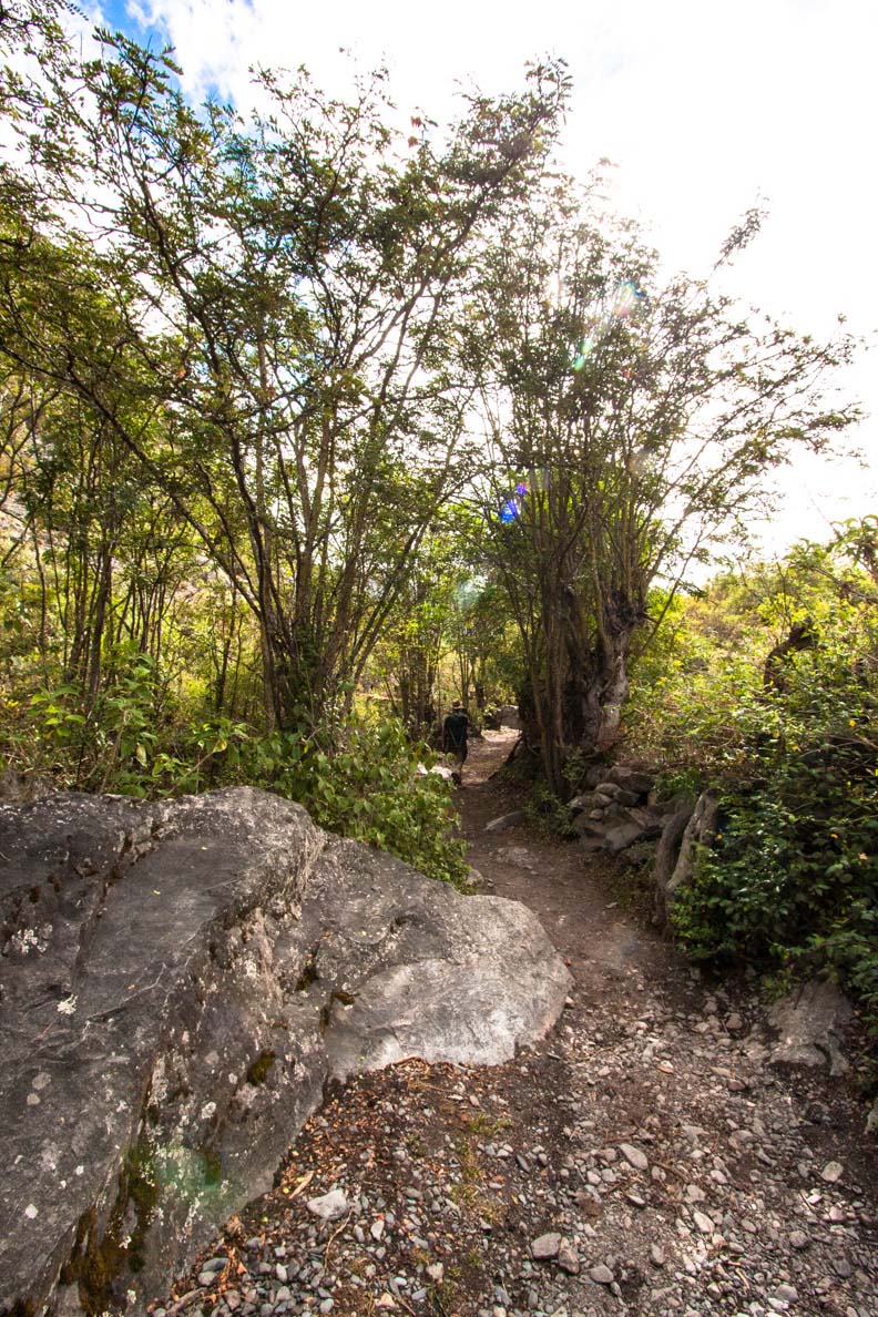
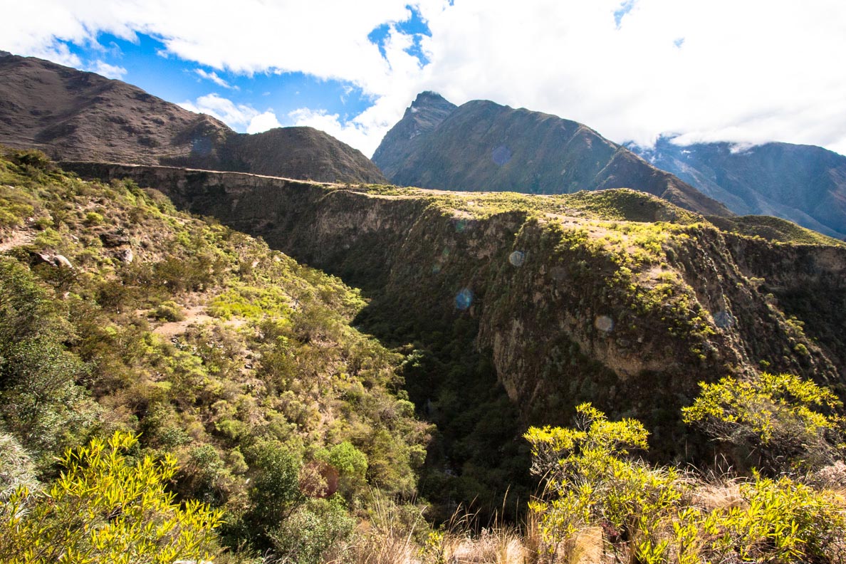
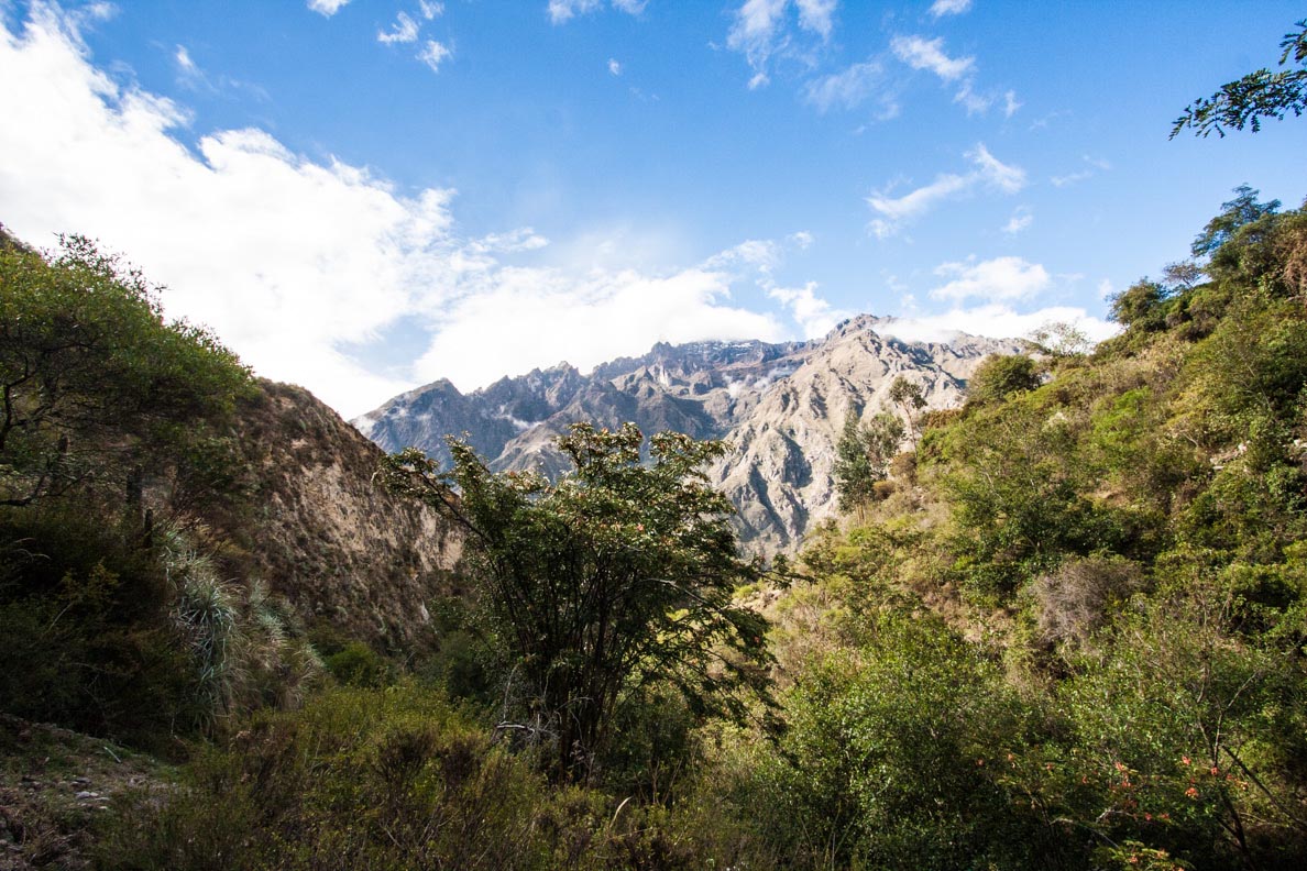
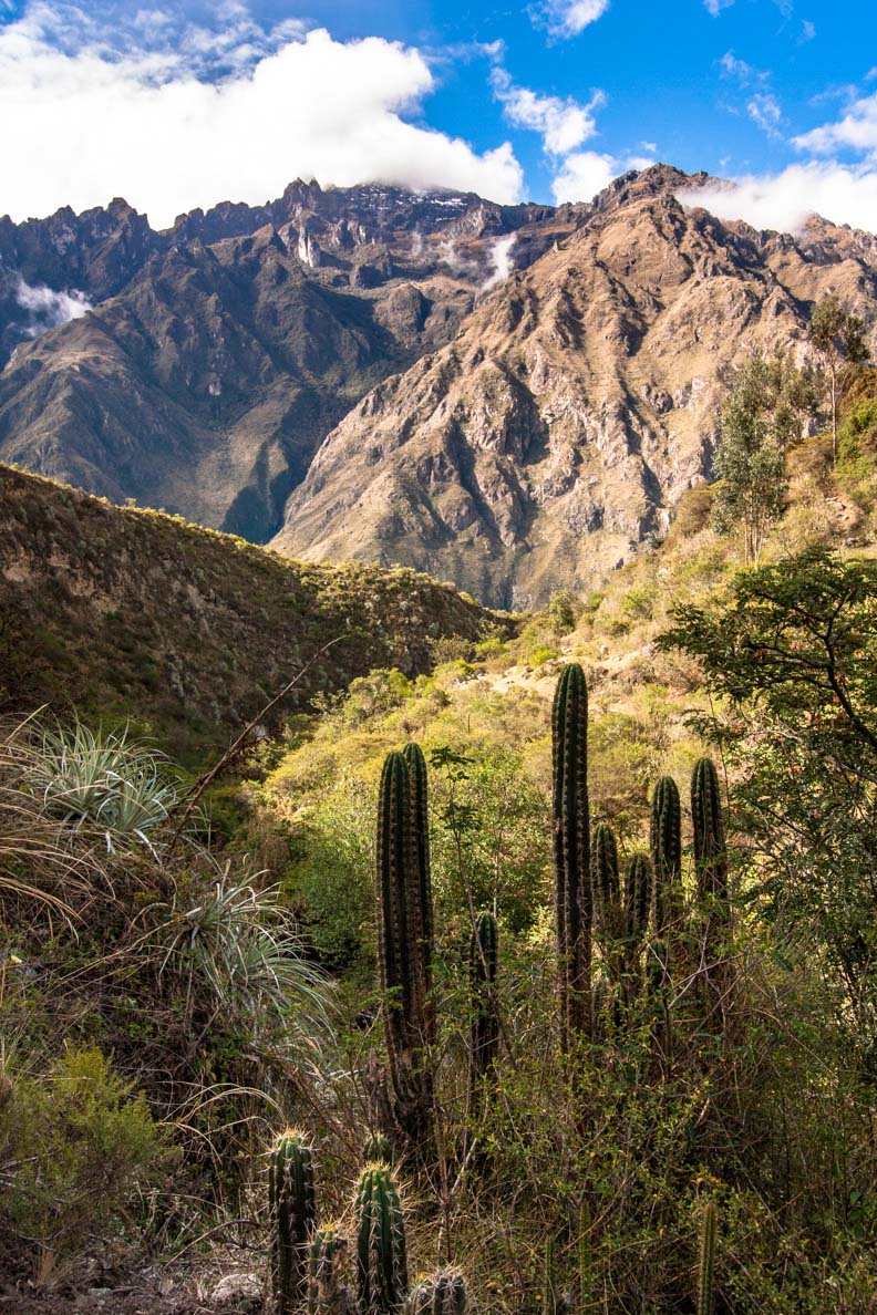
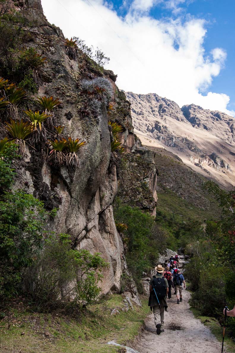
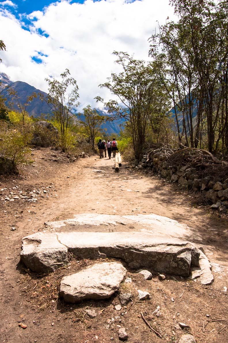
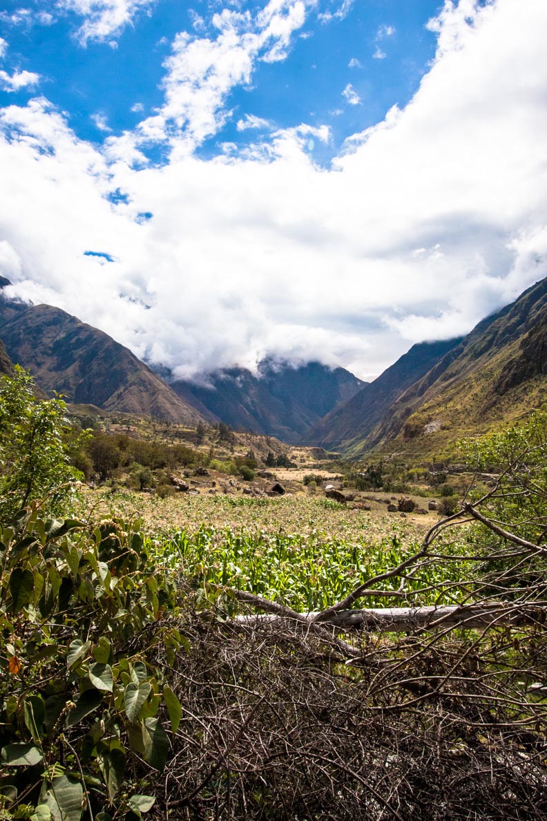
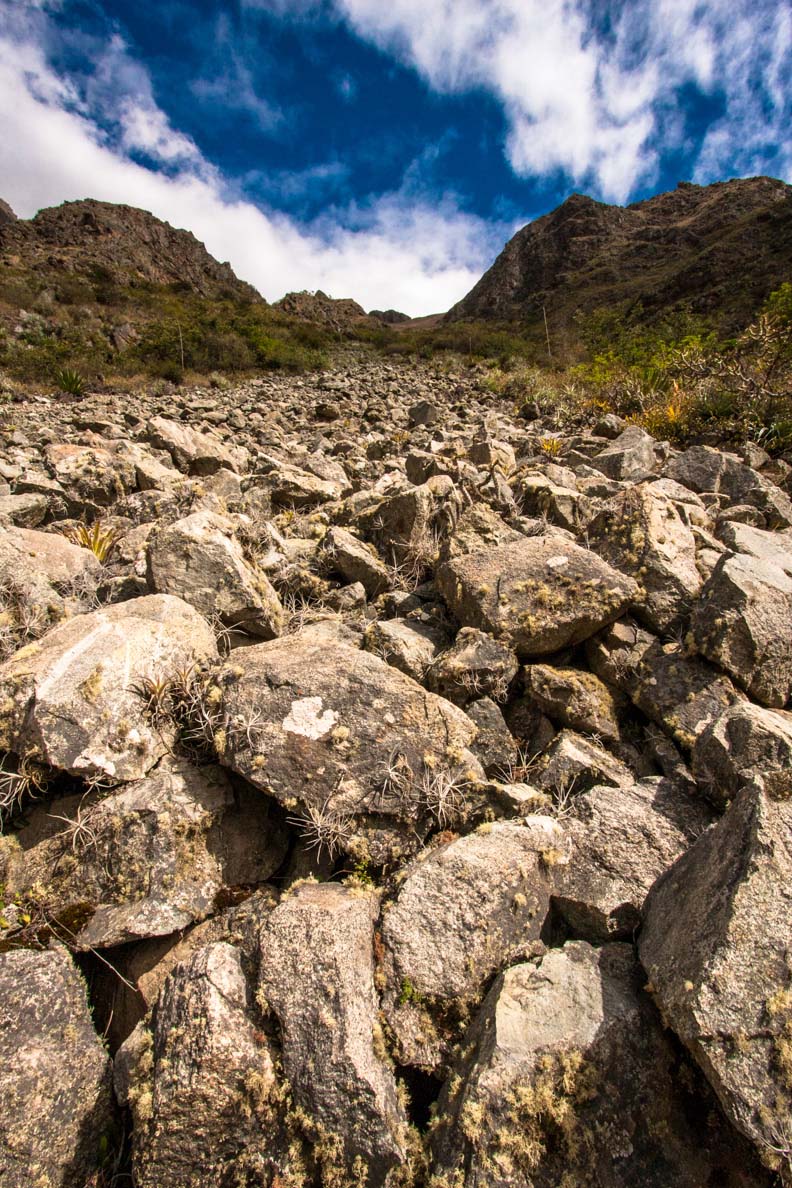
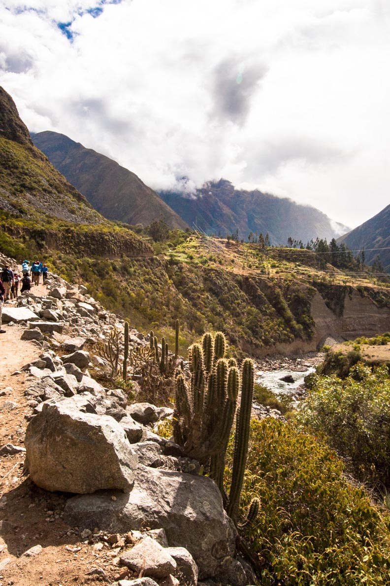
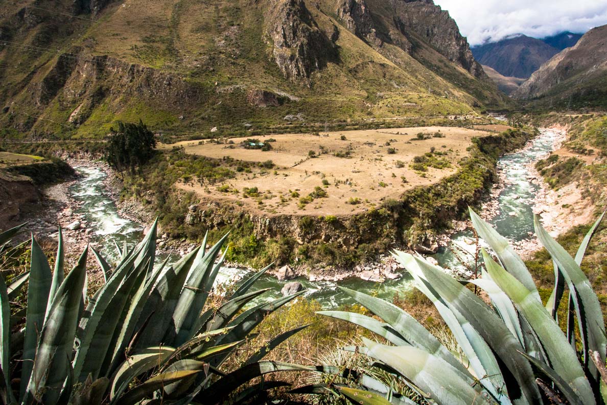
The chilly morning had now given way to a hot temperatures and a sunny blue sky. The start of the trail was quiet easy and relaxing. Following a flat, dusty path we hiked along the west bank of the river. The area was rocky and dry. Certainly different then what I expected. I was imagining trekking through deep jungles and forests... maybe that would come later on in the trail.
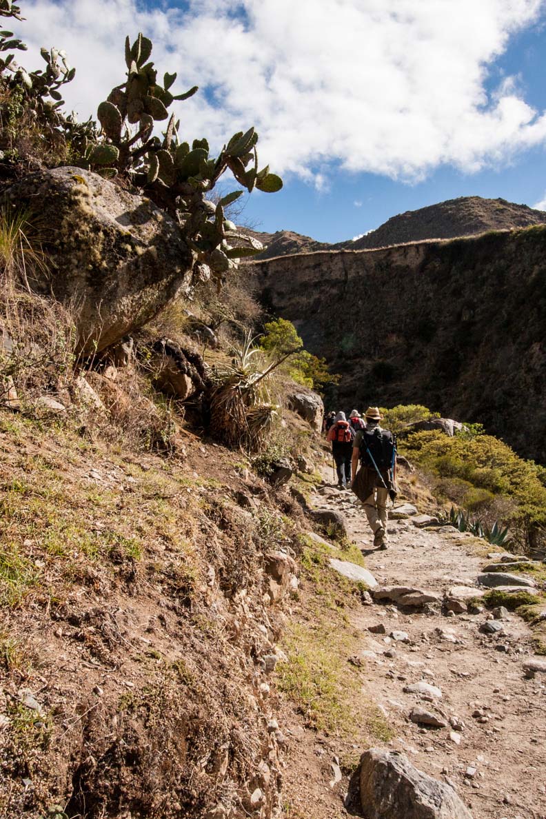
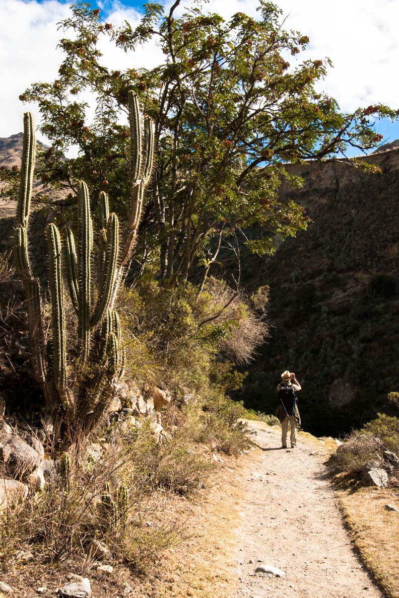
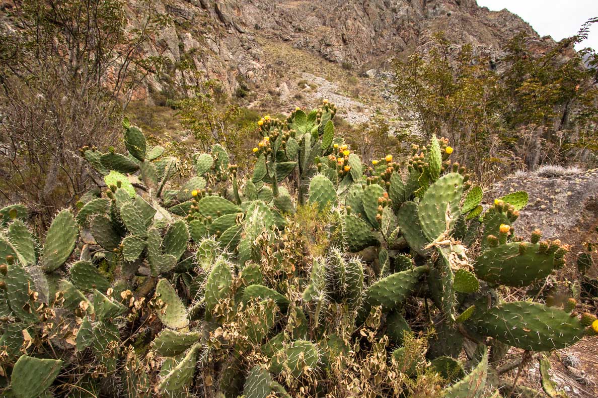
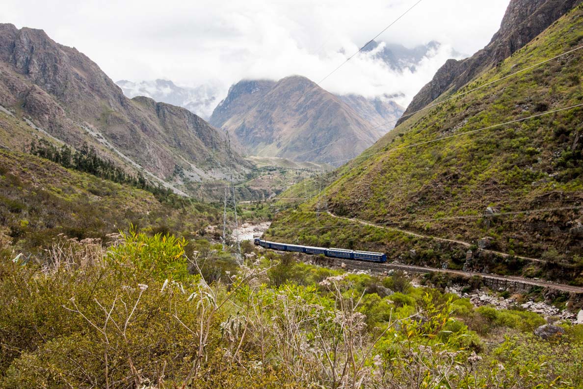
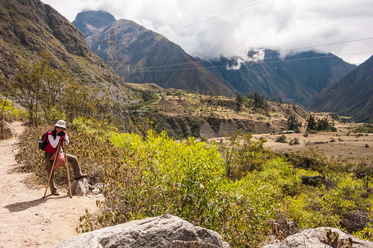
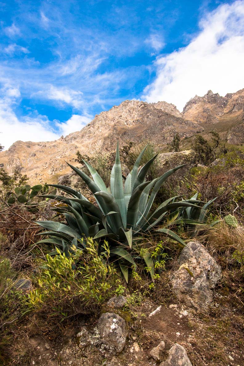
There was also a train track on the other side of the river so once in a while you heard a train go by. For now I was happy to strip off some of my layers and feel the warmth of the sun on my face. Silvia mentioned that we would be passing through different ecosystems depending on the elevation we were at. There was a variety of different types of desert plants and cacti in this area. From time to time Silvia stopped to explain some of the different plants to us.
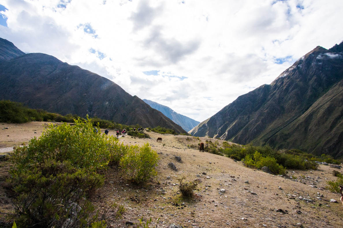
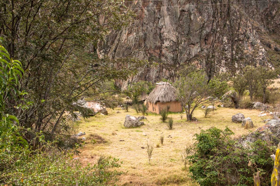
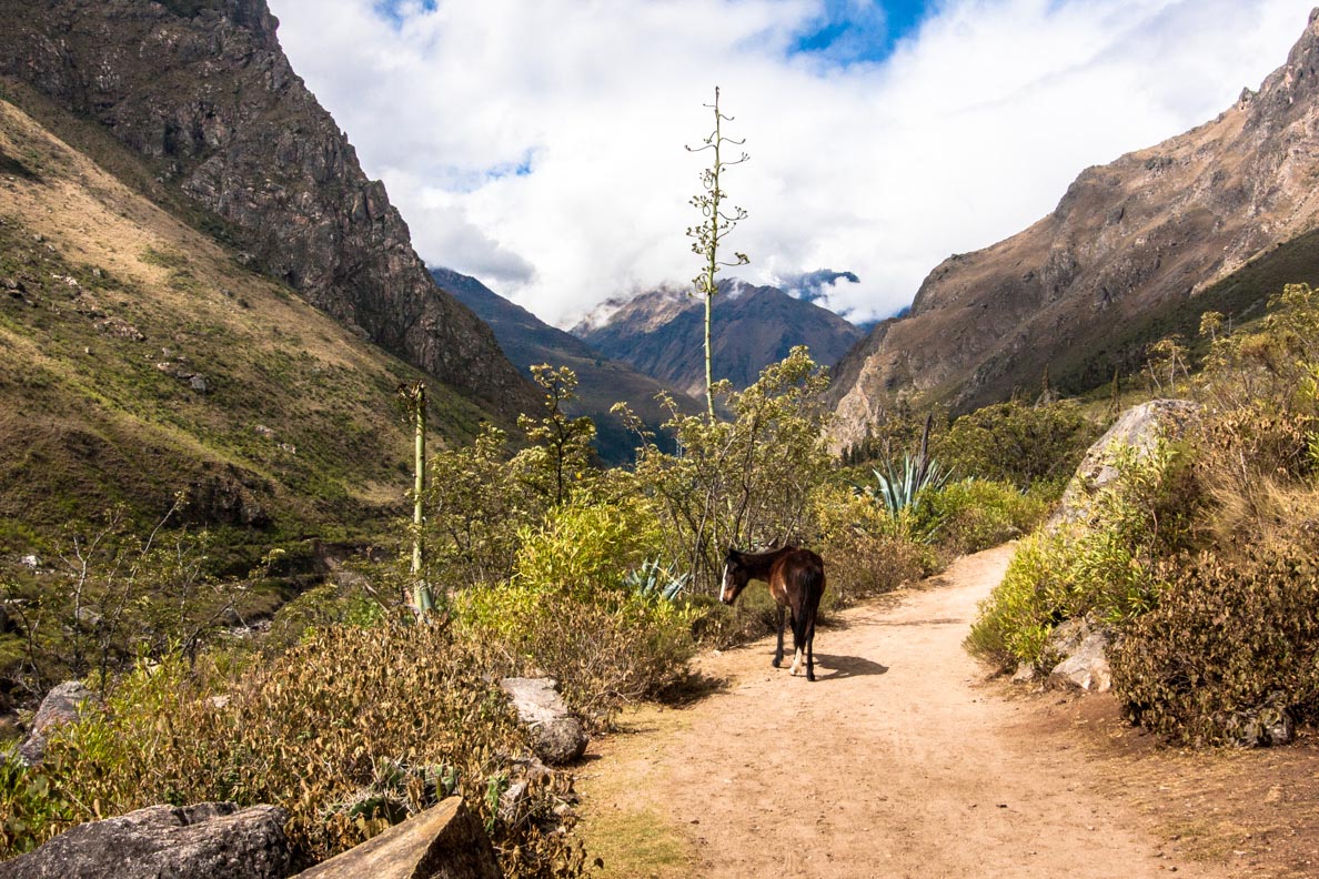
Along the way we passed a lot of locals who used this part of the trail to go down to town at Km82. The locals stayed in small huts and villages in this area. Donkeys and horses are used to transporting goods. And every once in a while you heard people shout ‘porters’ letting everyone know to move aside and let the porters with the heavy packs walk and in some cases run by.
Did you know...
The Inca trail is part of an extensive road network known as Qhapaq Ñan, (Andean Road System). Built by the Incas over 400 years ago, it stretches from Columbia through Ecuador, Peru, Bolivia, Chile and Argentina. The Inca road system is now a UNESCO world heritage site. It is the first time six countries represented one site.