ICELAND
SNÆFELLSNES
PENINSULA
July 2017 • Canon 60D camera
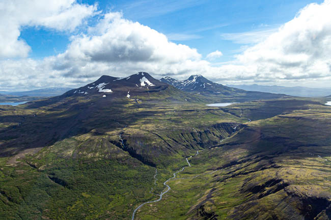
Snæfellsnes Peninsula
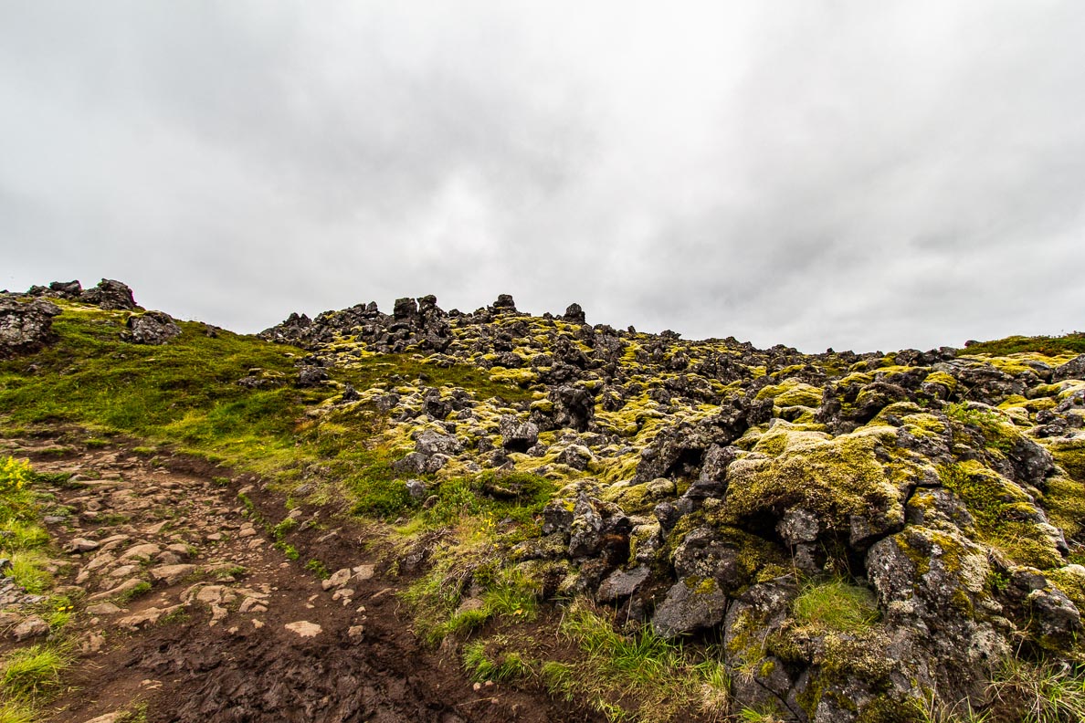
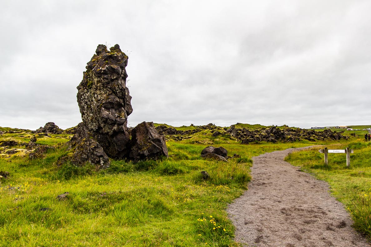
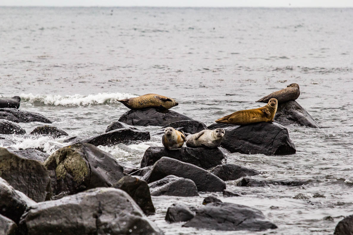
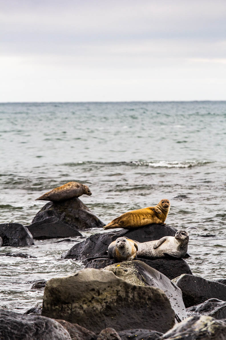
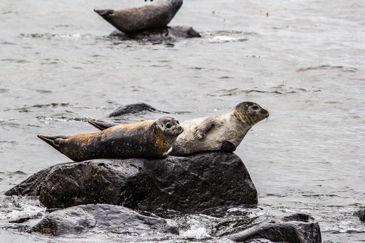
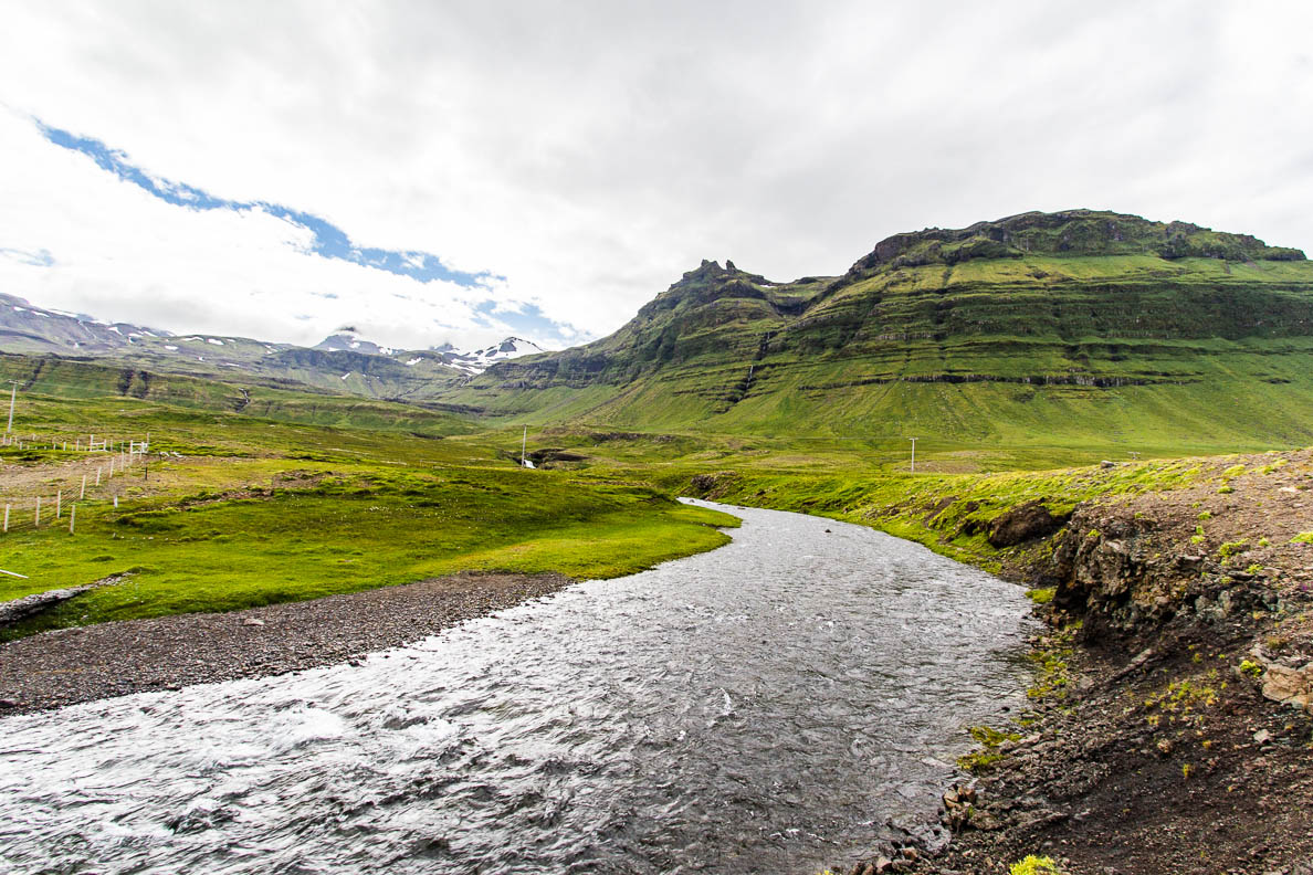
Often called the “miniature Iceland”, Snæfellsnes Peninsula is a small region in Western Iceland. Around 2 hours drive from Reykjavik, it has many small villages, natural landscapes and wildlife all in one area. We were driving from the North of Iceland on the way to Reykjavik passing through the peninsula. Below are just a few sights that we stopped along the way.
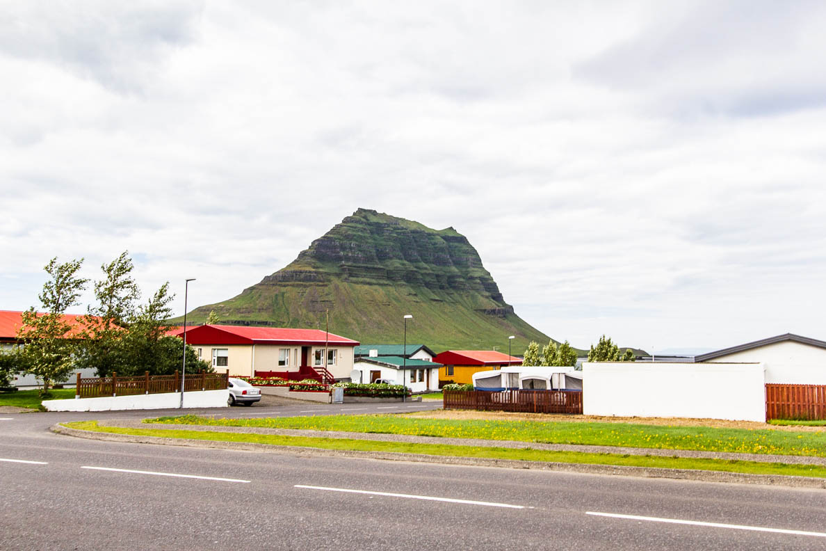
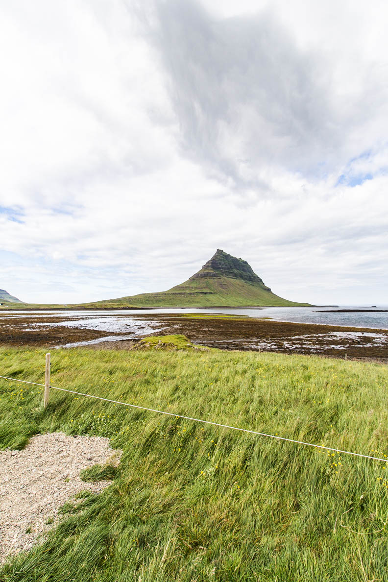
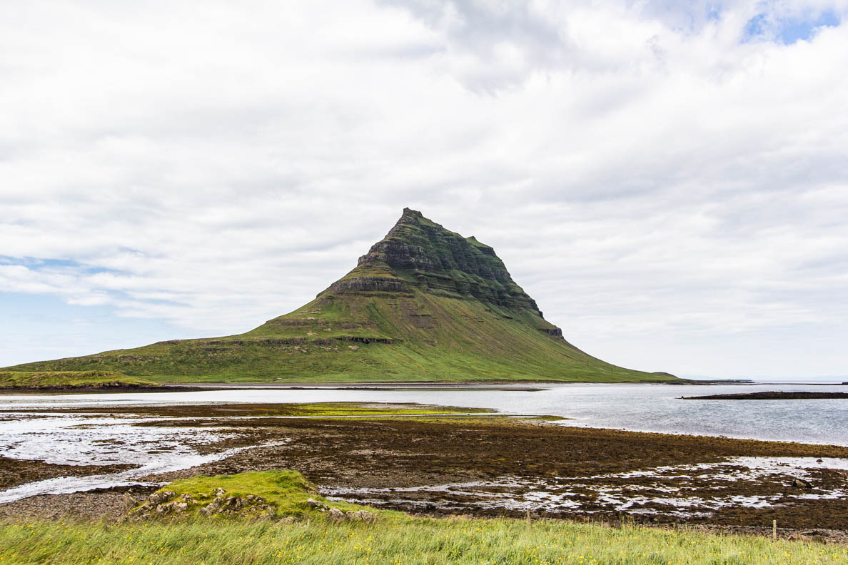
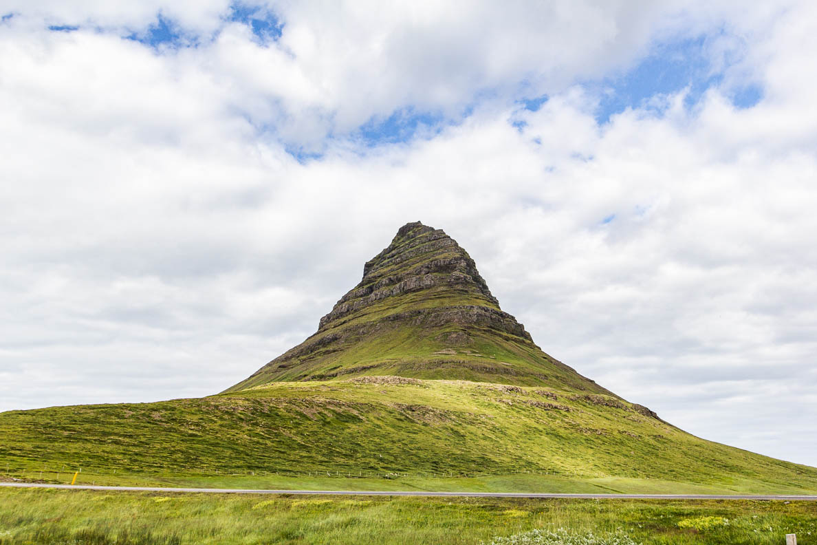
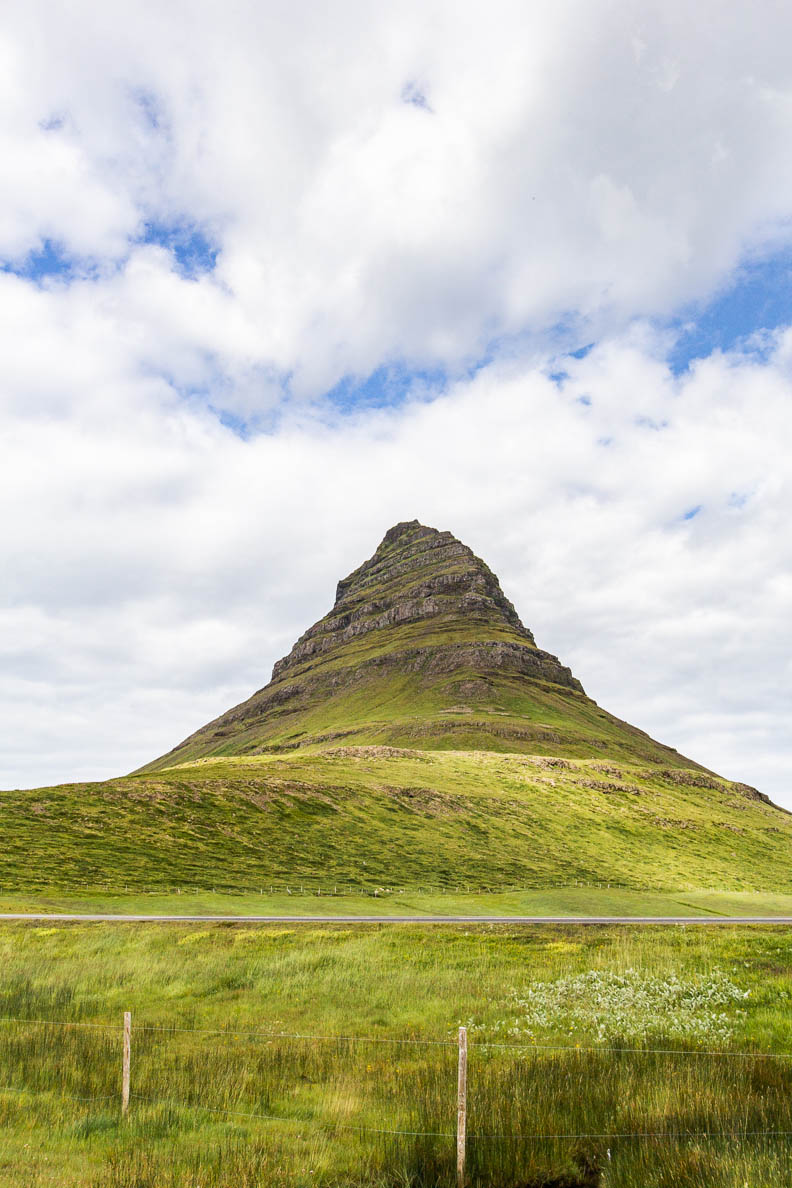
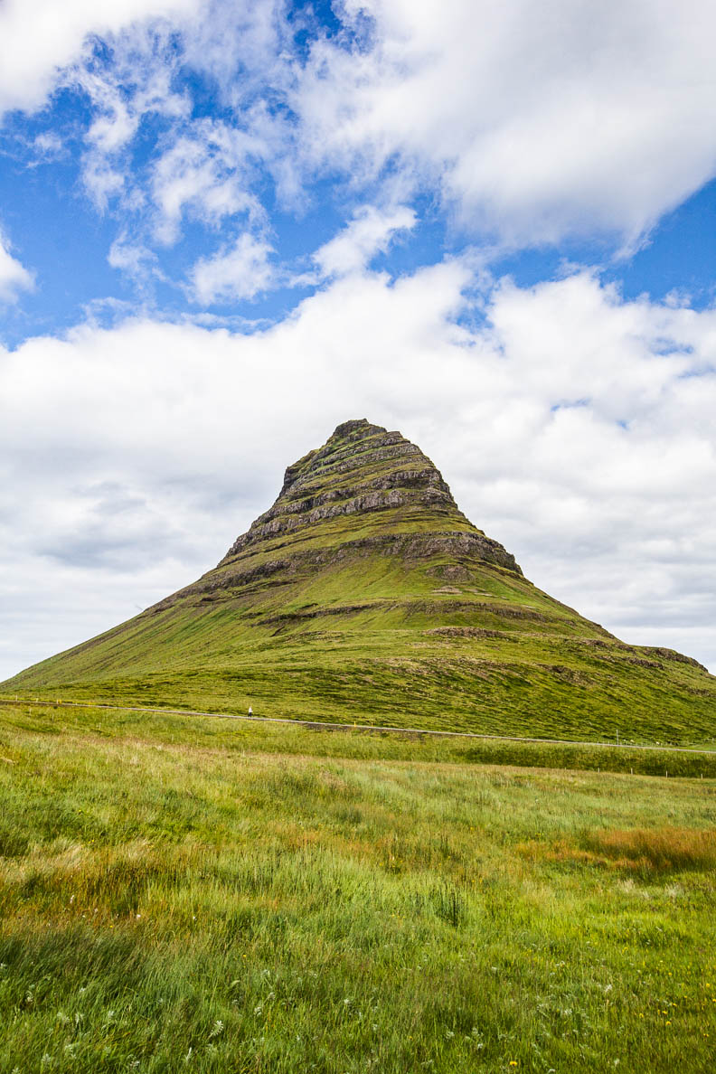
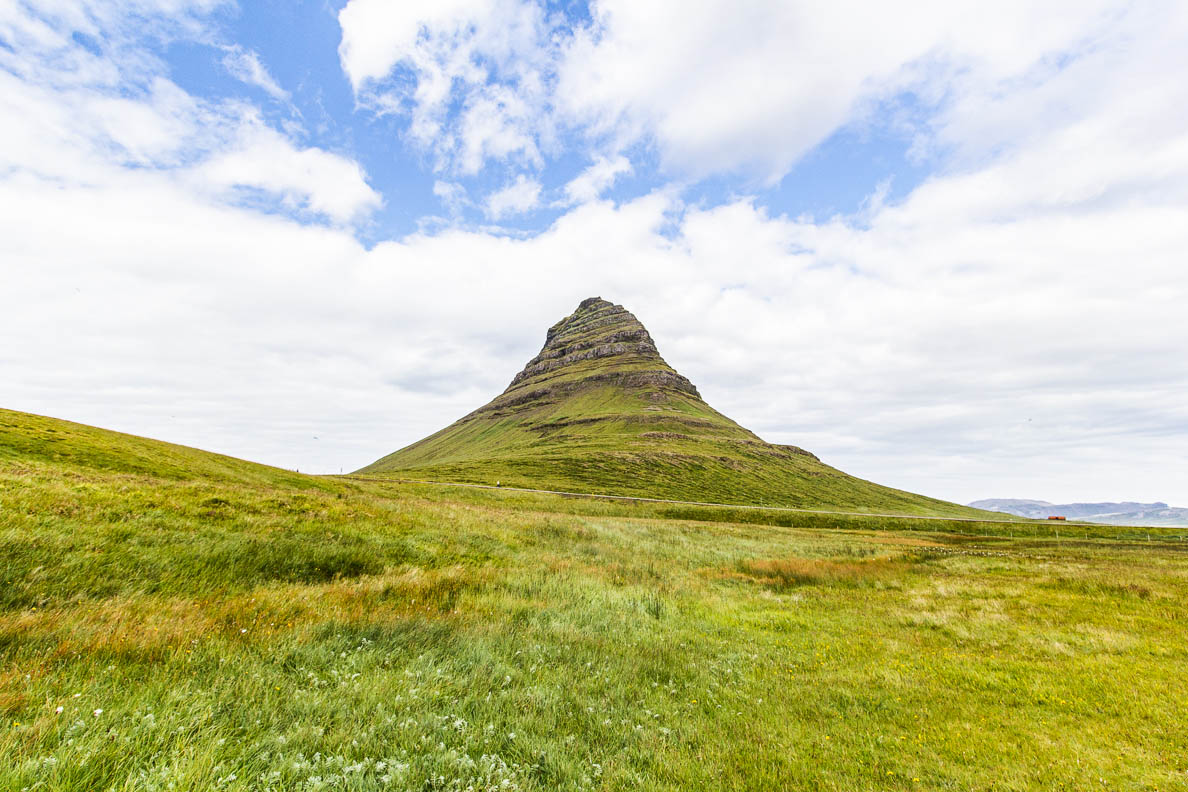
Kirkjufell
64° 56′ 27.73′ N, 23° 18′ 20.48′ W
This mountain is one of the most photographed mountains in Iceland. It located near the town of Grundarfjörður, the north coast of the Snæfellsnes Peninsula. The unique shape looks like it was purposefully fashioned or shaped in some way.
But the formation has taken shape over thousands of years through erosion. It is now made famous by the TV series Game of Thrones for being the “Arrow Head Mountain”.
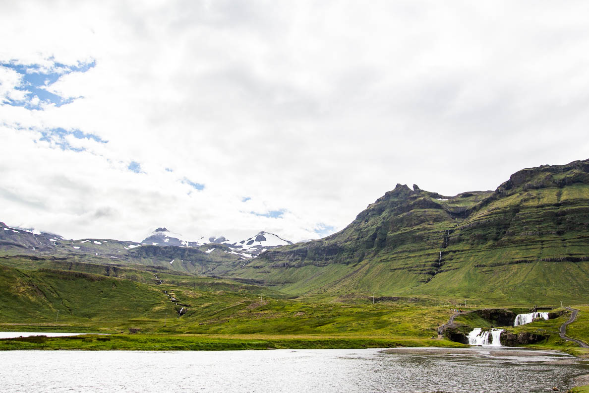
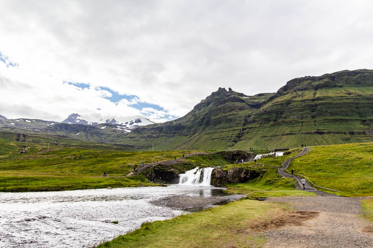
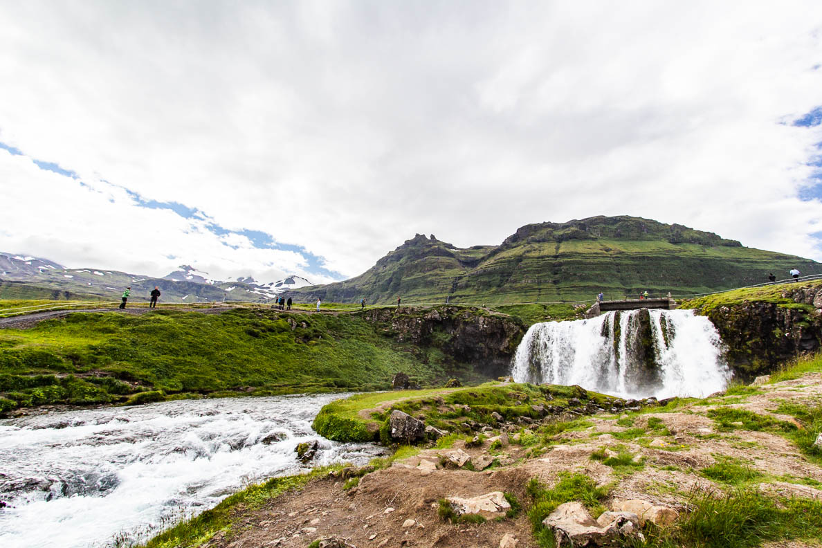
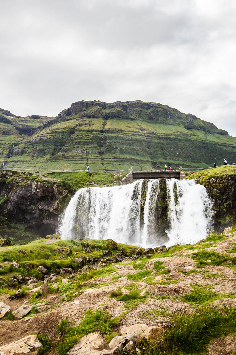
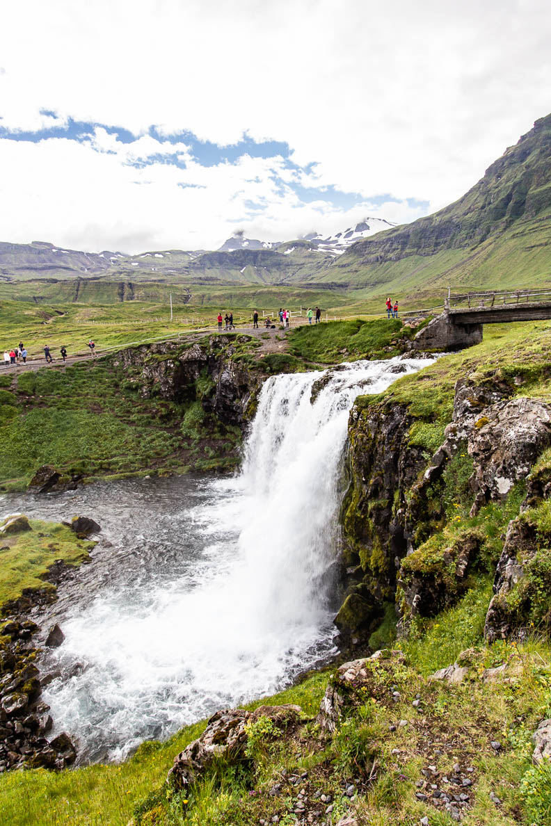
Kirkjufellsfoss
64° 55′ 33.96′ N, 23° 18′ 41.26′ W
This small waterfall is located near Kiirkjufell on the River Kirkjufellsá, which flows from Snaefellsjokull glacier. It is usually photographed together with Kiirkjufell
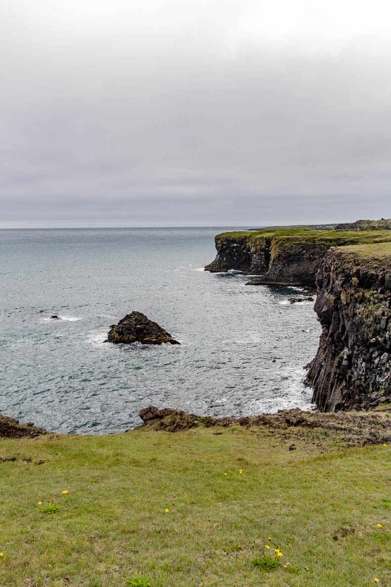
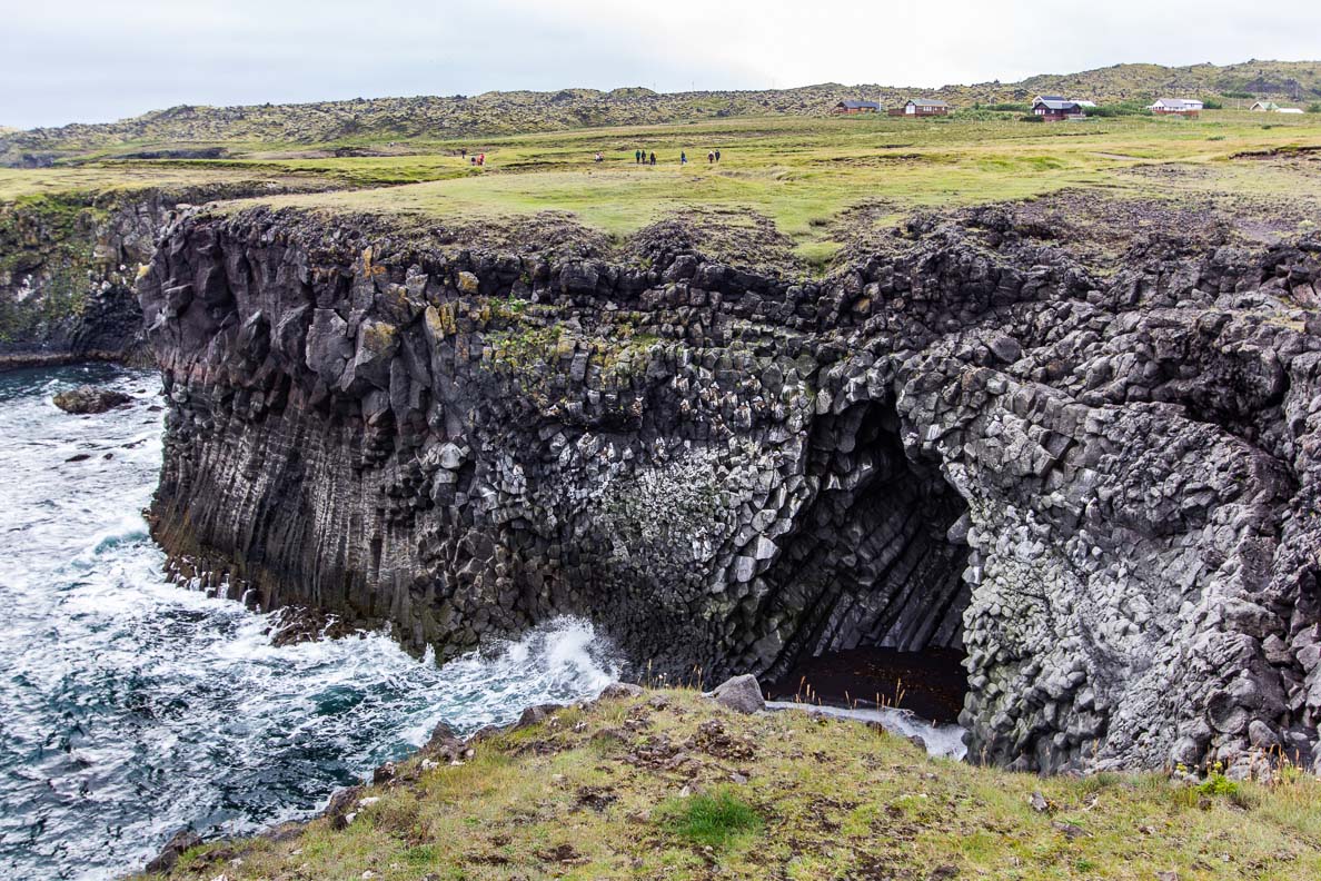
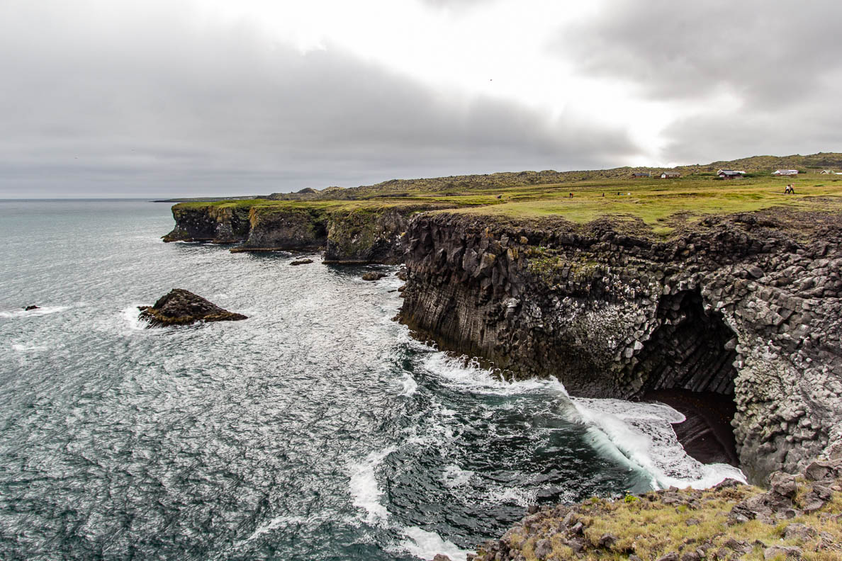
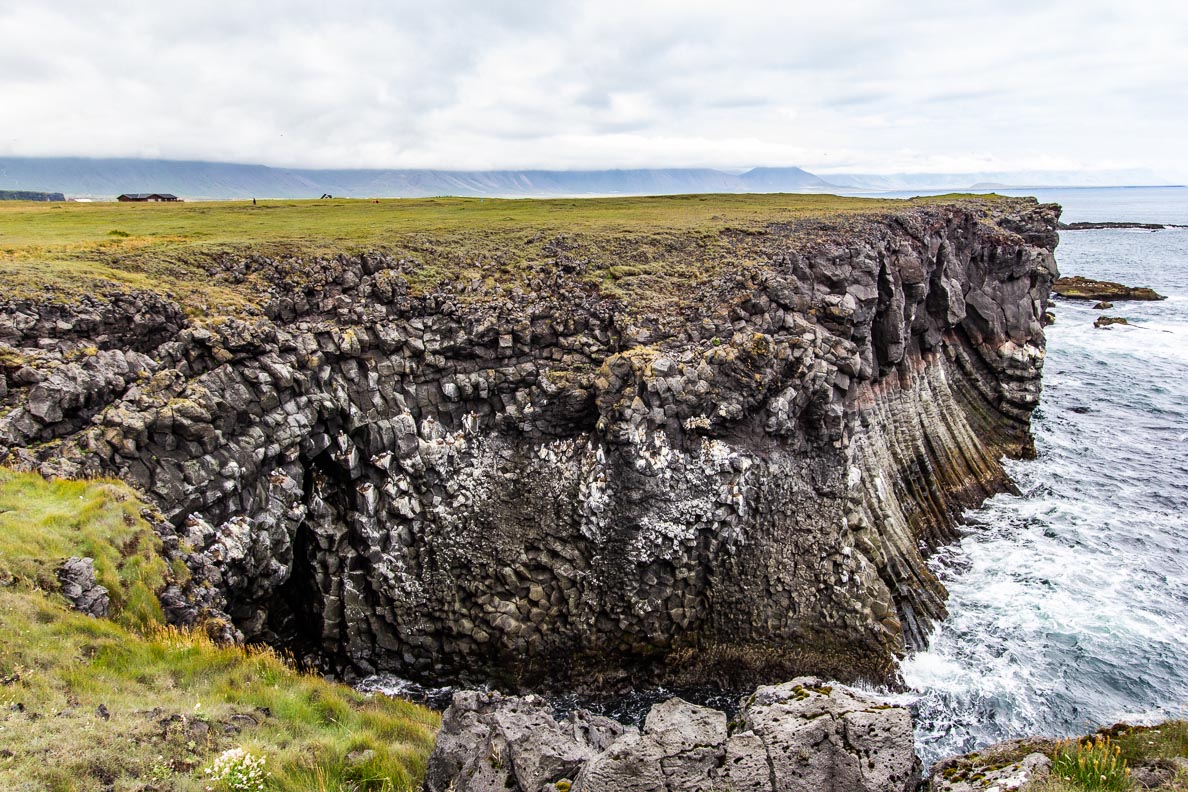
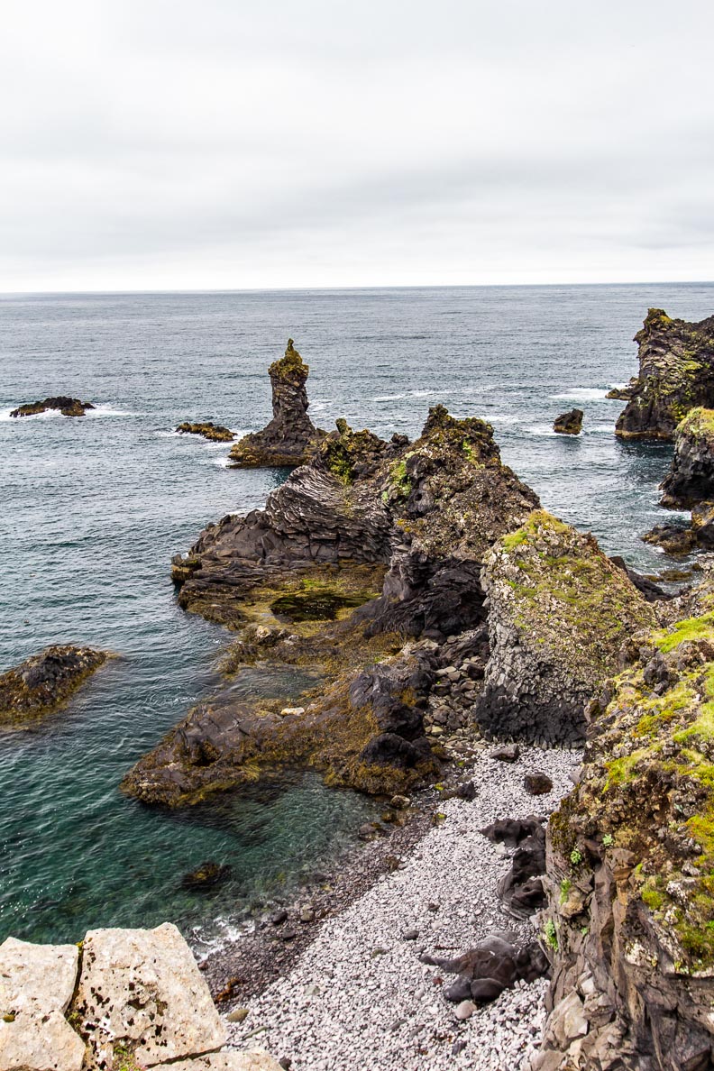
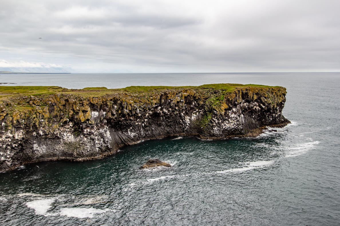
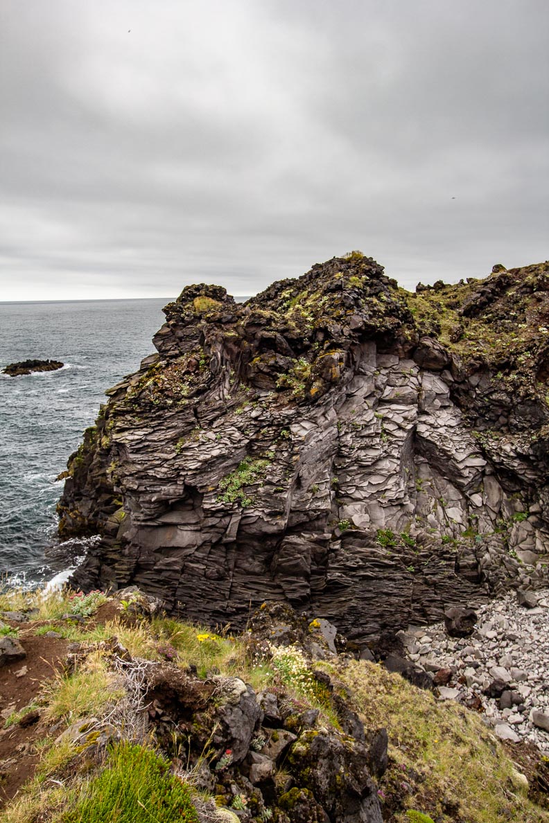
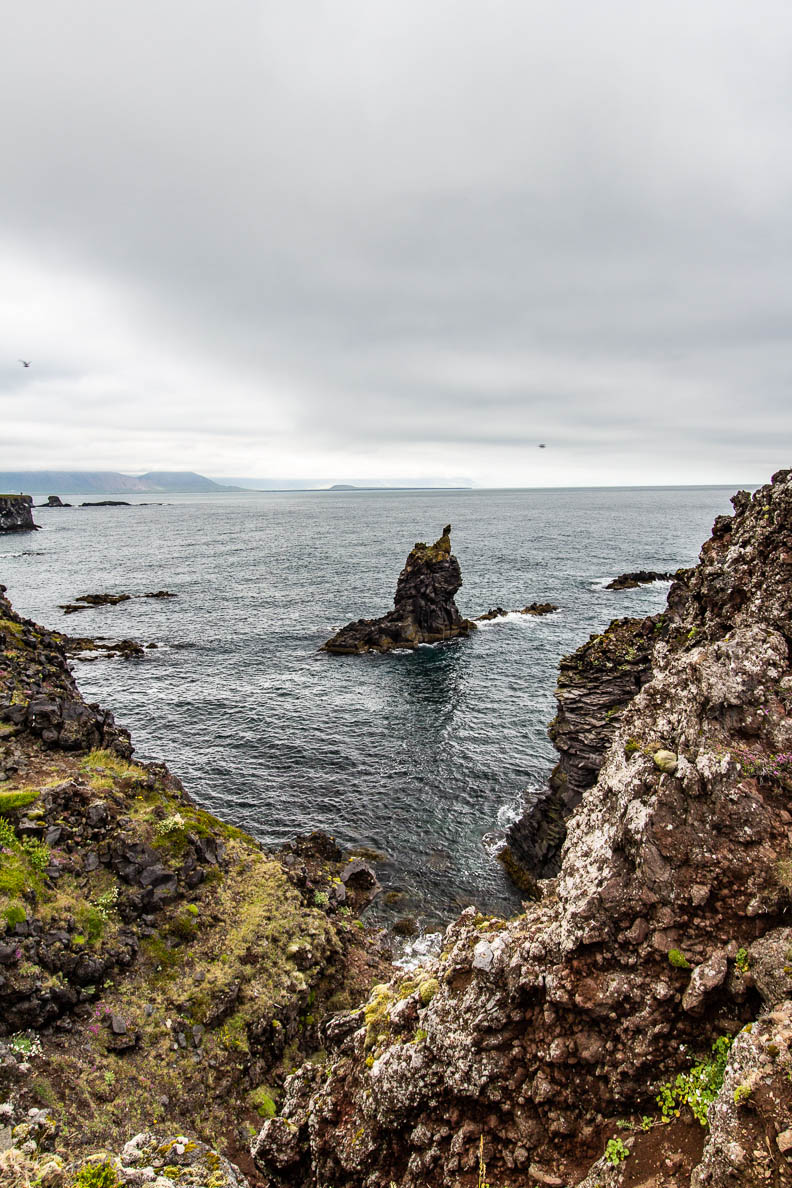
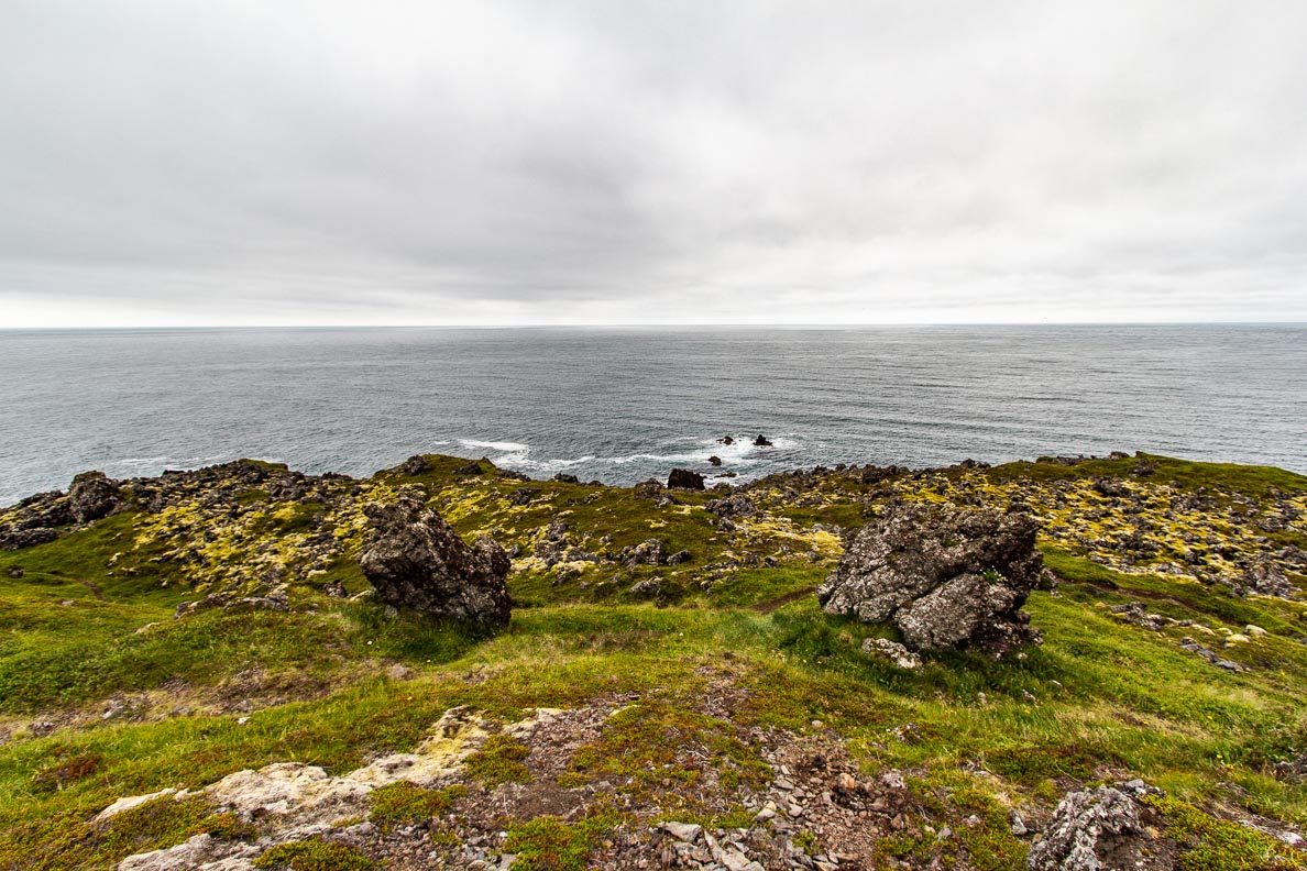
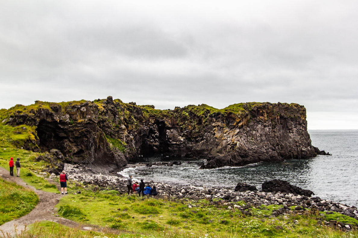
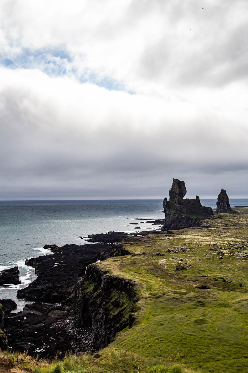
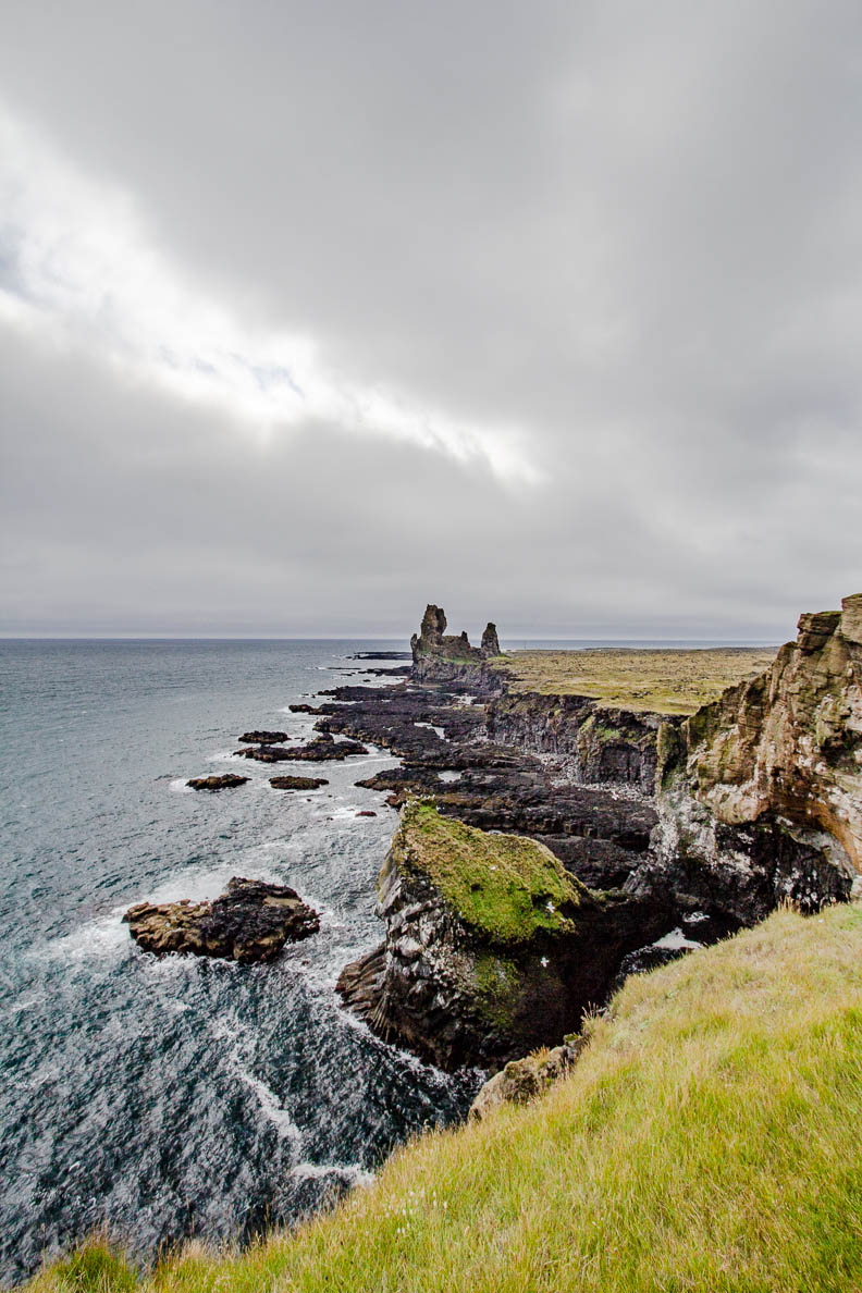
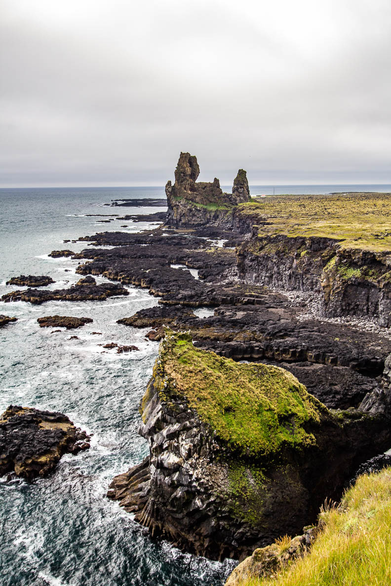
Lóndrangar
64° 44′ 0.02′ N, 23° 46′ 59.99′ W
This part of the shoreline near Hellnar at the South West of the peninsula is famous for two large pillars. They are in fact volcanic plugs that have sustained the forces of the wind and ocean for thousands of years. From a distance it looks like a castle at the edge of the sea.
Did you know...
Snæfellsjökull volcano featured in Jules Vernes’ famouse novel Journey to the Centre of the Earth is located in the penisnsula